Scale
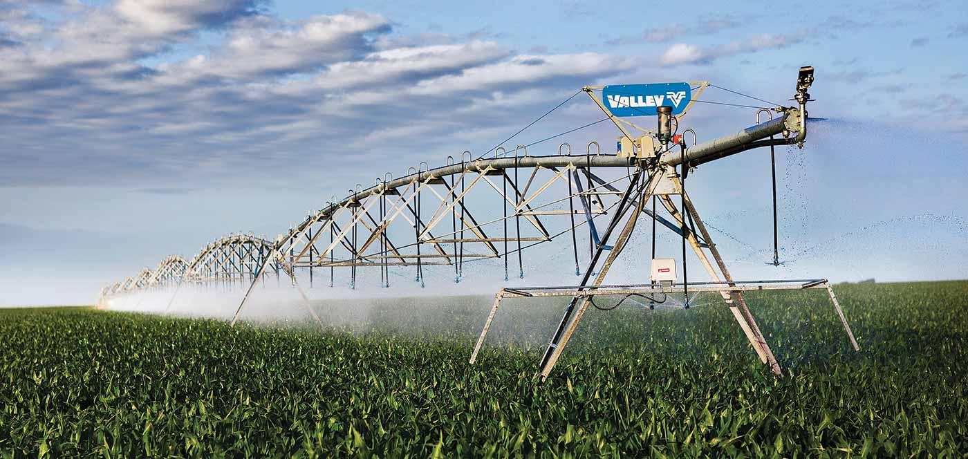
100 sq miles, 244 center pivots, over 500 irrigation wells
Services
Groundwater assessment, measurement and mapping, forecasting
Deliverables
Groundwater sustainability report, mobile mapping and date entry, geographic information system
Completion
Assessment in 60 days, mapping and monitoring system in 2 weeks
Contact Us
Ensuring sustained irrigation for years
PROBLEM
The aquifer beneath a 100-square-mile ranch was slowly being depleted. The client needed an independent evaluation of the wellfield with an adaptive management plan to sustain its operations for the next 20 years.
SOLUTION
Using rigorous scientific principles and the latest technology to assess the groundwater supply at the ranch, the assessment was completed in 60 days in two phases. In Phase 1, we compiled and assessed available information from public agencies and the landowner. In Phase 2, we then measured groundwater depths and other operating parameters at all of the wells, using specialized instrumentation and a mobile mapping and data entry application. The data was transferred from the field to the office daily, where it was used to map groundwater elevations and aquifer thicknesses using a geographic information system (GIS). The data and maps were analyzed by our hydrogeologists to determine the aquifer groundwater storage capacity and to develop forecasts of well yields over the next two decades.
RESULTS
Even with a reduced aquifer, the ranch was able to adapt their infrastructure and operations to ensure sustained irrigated crop production for many more years.